
search
Citi bike Miami map
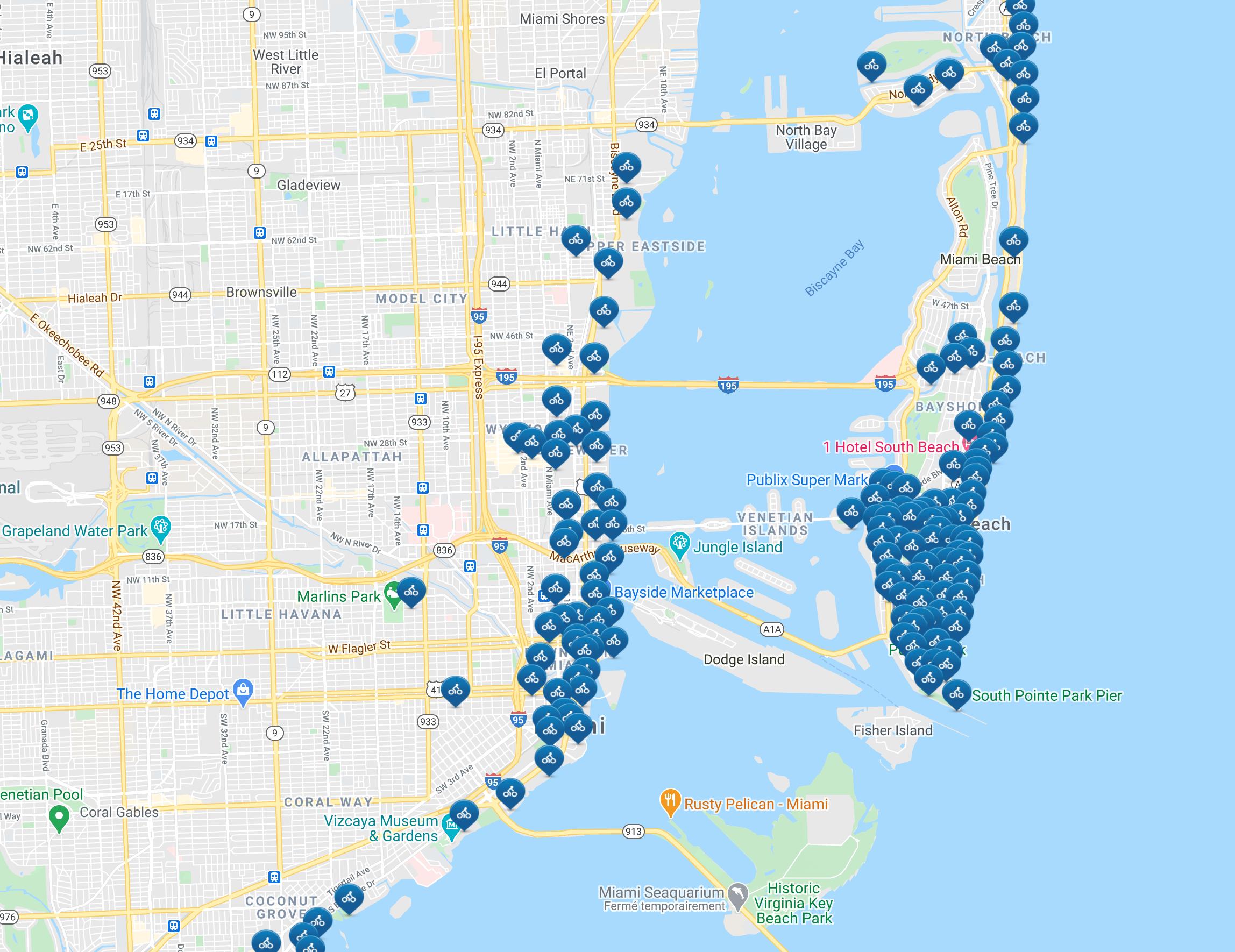
Miami citi bike map. Citi bike Miami map (Florida - USA) to print. Citi bike Miami map (Florida - USA) to download. The Citi Bike program is designed to give locals and visitors an additional transportation option for getting around the city. This solar-powered bike sharing system provides a fleet of specially designed bikes that are sturdy, efficient, and convenient. Each one of the thousand bikes can be retrieved or returned at any one of the 100 docking stations as its shown in citi bike Miami map. They are available for use 24 hours a day, 365 days a year. You can rent bikes at an hourly rate or get a ‘Bike Share Membership’. Hourly rentals give you the freedom of docking and parking your bike at any station during your rental period. Choose how long you want to rent your Citi Bike and pay right the station by debit or credit card.
For frequent riders, you can take advantage of the Bike Sharing Membership. A concept that has shown success in European cities like Paris and Barcelona, the Bike Sharing Membership allows you check out and return any bike from any station, all day long. The first 30 minutes of every ride are included for free as its mentioned in citi bike Miami map. The 30 minute trip clock resets each time you arrive at a station/destination, so you get unlimited 30 minute rides at no extra charge. When docked, the bike is then available for the next person to use. Since its bike “sharing,” you do not keep the bike in your possession for the whole day.
The Transportation Department has pursued the implementation of green bicycle lanes as part of a growing bicycle network. There have been seven projects completed totaling 31,000 linear feet for bike lanes on both sides of the road in the following neighborhoods as you can see in citi bike Miami map: Alton Road, from South Pointe Drive to 5th Street, including South Pointe Drive from Alton Road to Ocean Drive (3,924 ft); Prairie Avenue from 34 Street to 44 Street (3,076 ft); Royal Palm Avenue from 42 Street to 47 Street (4,532 ft); 47 Street from Pine Tree Drive to Alton Road (4,688 ft); Ocean Drive from 5 Street to South Pointe Drive (3,784 ft); Dickens Avenue from 71 Street to 79 Street (4,646 ft); and Byron Avenue from 82 Street to 87 Terrace (3,560 ft).