search
Miami neighborhood map
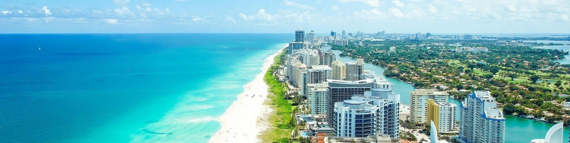
Map of Miami neighborhoods. Miami neighborhood map (Florida - USA) to print. Miami neighborhood map (Florida - USA) to download. Miami is partitioned into many different sections, roughly into North, South, West and Downtown. The heart of the city is Downtown Miami and is technically on the eastern side of the city. This area includes Brickell, Virginia Key, Watson Island, and the Port of Miami as you can see in Miami neighborhood map. Downtown is South Florida central business district, and Florida's largest and most influential central business district. Downtown has the largest concentration of international banks in the U.S. along Brickell Avenue. Downtown is home to many major banks, courthouses, financial headquarters, cultural and tourist attractions, schools, parks and a large residential population. East of Downtown, across Biscayne Bay is South Beach. Just northwest of Downtown, is the Civic Center, which is Miami center for hospitals, research institutes and biotechnology with hospitals such as Jackson Memorial Hospital, Miami VA Hospital, and the University of Miami's Leonard M. Miller School of Medicine.
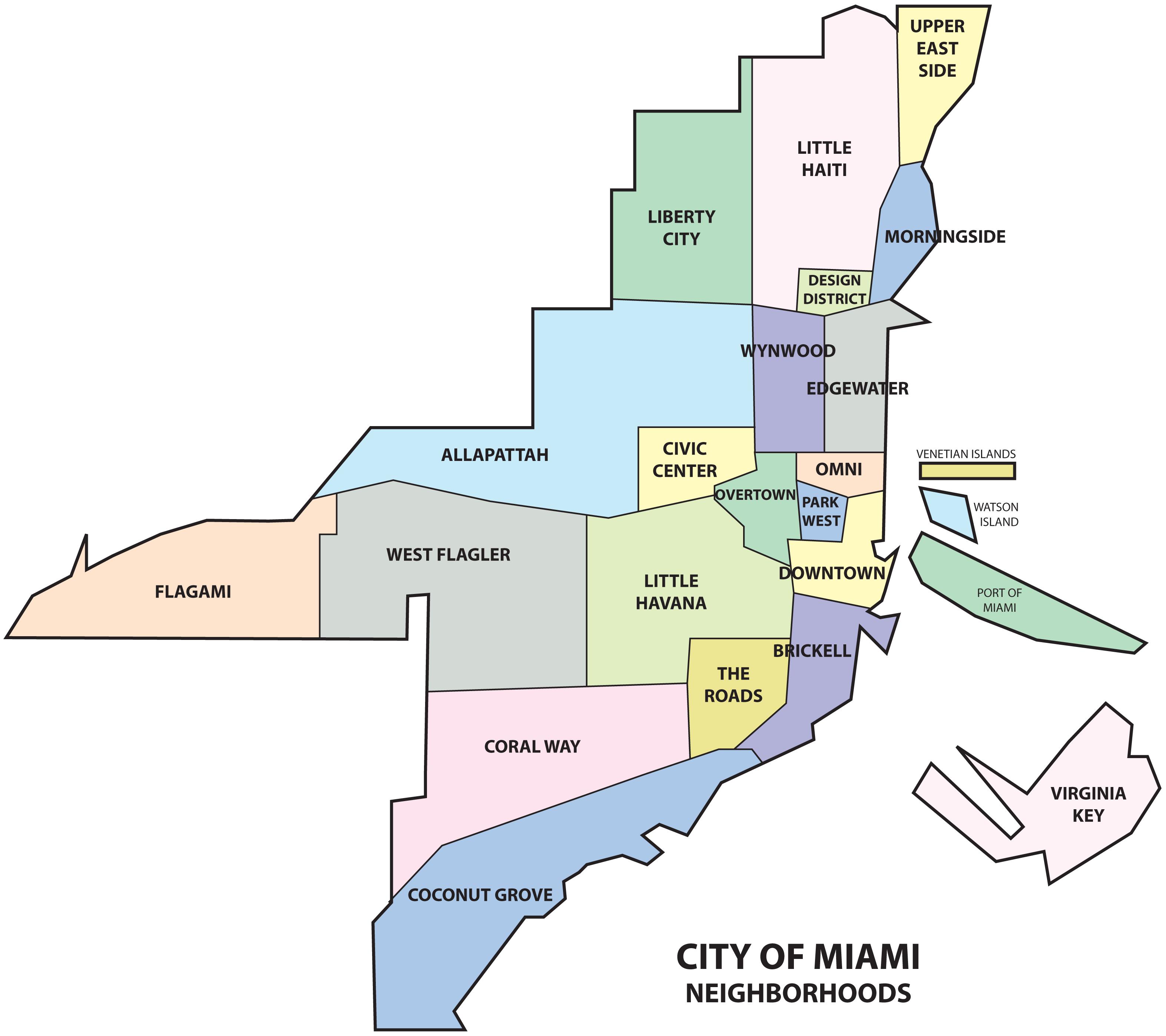
The southern side of Miami includes Coral Way, The Roads and Coconut Grove. Coral Way is a historic residential neighborhood built in 1922 connecting Downtown with Coral Gables, and is home to many old homes and tree-lined streets. Coconut Grove was established in 1825 and is the location of Miami City Hall in Dinner Key, the Coconut Grove Playhouse, CocoWalk, many nightclubs, bars, restaurants and bohemian shops, and as such, is very popular with local college students. It is a historic neighborhood with narrow, winding roads, and a heavy tree canopy. Coconut Grove as its shown in Miami neighborhood map has many parks and gardens such as Villa Vizcaya, The Kampong, The Barnacle Historic State Park, and is the home of the Coconut Grove Convention Center, as well as many of the country most prestigious private schools, and numerous historic homes and estates.
The western side of Miami includes Little Havana, West Flagler, and Flagami, and is home to many of the city traditionally immigrant neighborhoods. Although at one time a mostly Jewish neighborhood, today western Miami is home to immigrants from mostly Central America and Cuba, while the west central neighborhood of Allapattah is a multicultural community of many ethnicities. The northern side of Miami as its mentioned in Miami neighborhood map includes Midtown, a district with a great mix of diversity with many West Indians, Hispanics, European Americans, bohemians, and artists. Edgewater, and Wynwood, are neighborhoods of Midtown and are made up mostly of high-rise residential towers and are home to the Adrienne Arsht Center for the Performing Arts. The wealthier residents usually live in the northeastern part, in Midtown, the Design District, and the Upper East Side, with many sought after 1920s homes and home of the MiMo Historic District, a style of architecture originated in Miami in the 1950s.